Built on flight hours and field experience.
CDM Drones is run by Ben Joshua, a CASA-certified operator with nine years of flight experience across alpine, coastal, and industrial sites. Built around a simple workflow: capture, data, model. Operating from Gilmore in the ACT.
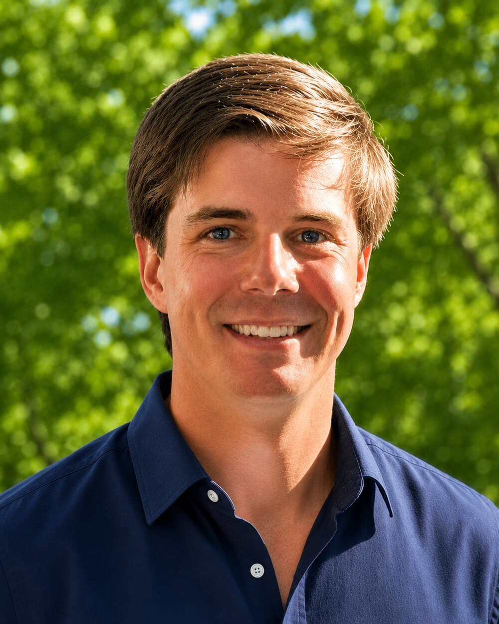
Ben Joshua
Connect on LinkedInBen is the founder of CDM Drones and is committed to delivering safe, professional, and high-quality drone services to clients across Australia.
With extensive experience operating drones across a range of environments over nine years, Ben established CDM Drones to provide reliable aerial surveying, mapping, inspection, and data capture for government, engineering, construction, mining, renewable energy, and environmental projects. Ben holds a Certificate in Surveying, which grounds the data work in survey fundamentals.
CDM Drones is fully insured with Professional Indemnity (PI) and Public Liability (PL) cover, so every project is conducted safely, professionally, and in line with Australian aviation regulations. Ben's CASA qualifications and approvals are listed below.
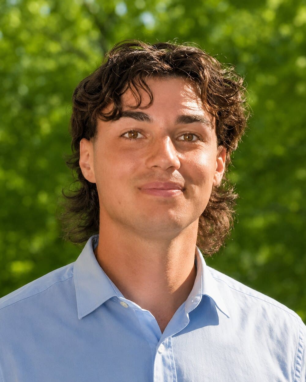
Brodie Moller
Brodie is the Sales Executive at CDM Drones and is dedicated to building strong client relationships while delivering tailored drone solutions that meet each project's unique requirements.
With a strong focus on customer service and business development, Brodie works closely with clients across government, engineering, construction, mining, renewable energy, and environmental sectors to understand their needs and connect them with the right aerial surveying, mapping, inspection, and data capture services. His commitment to clear communication, professionalism, and long-term partnerships ensures every client receives responsive support from initial enquiry through to project completion.
Working alongside the operational team, Brodie helps ensure every project is delivered efficiently, safely, and to the highest professional standard, reflecting CDM Drones' commitment to quality, innovation, and reliable service across Australia.
Matt Nolan
Matt is CDM Drones' chief pilot, with years of experience flying in the field across a wide range of environments and mission types. He holds a Certificate in Surveying, so the capture is planned with the end deliverable in mind rather than treated as a separate step.
Matt shares the capture workload across the job book, which keeps schedules realistic during busy periods and means there is always a second qualified pilot across the flight planning, the site risk assessment, and the data coming off the aircraft.
The work after the flight
Capture is only half the job. Every dataset is processed and checked against survey control before it goes out: orthomosaics and terrain models tied to a fixed datum, point clouds classified to ground, and volumes reported against a known surface. Deliverables are quality checked and reported with the accuracy figures attached, so the numbers can be relied on rather than taken on trust.
Flown under CASA, full stack of quals.
Operating with the certifications required to fly in controlled airspace, near aerodromes, and over populated areas where most operators can't.
- CertificationReOC #9760Remotely Piloted Aircraft Operator's Certificate
- LicenceRePLRemote Pilot Licence (operator)
- CertificationAROCAeronautical Radio Operator's Certificate
- IdentifierARN #1068101Aviation Reference Number
Information our clients can immediately understand and use.
Commitment to precision, preparation, and thoughtful execution.
Dedication to safety, professionalism, and continuous improvement.
Want to work together?
Tell us what you're trying to figure out. We'll be straight about whether a drone is the right tool, and what we'd actually need to deliver.