Project Reporting
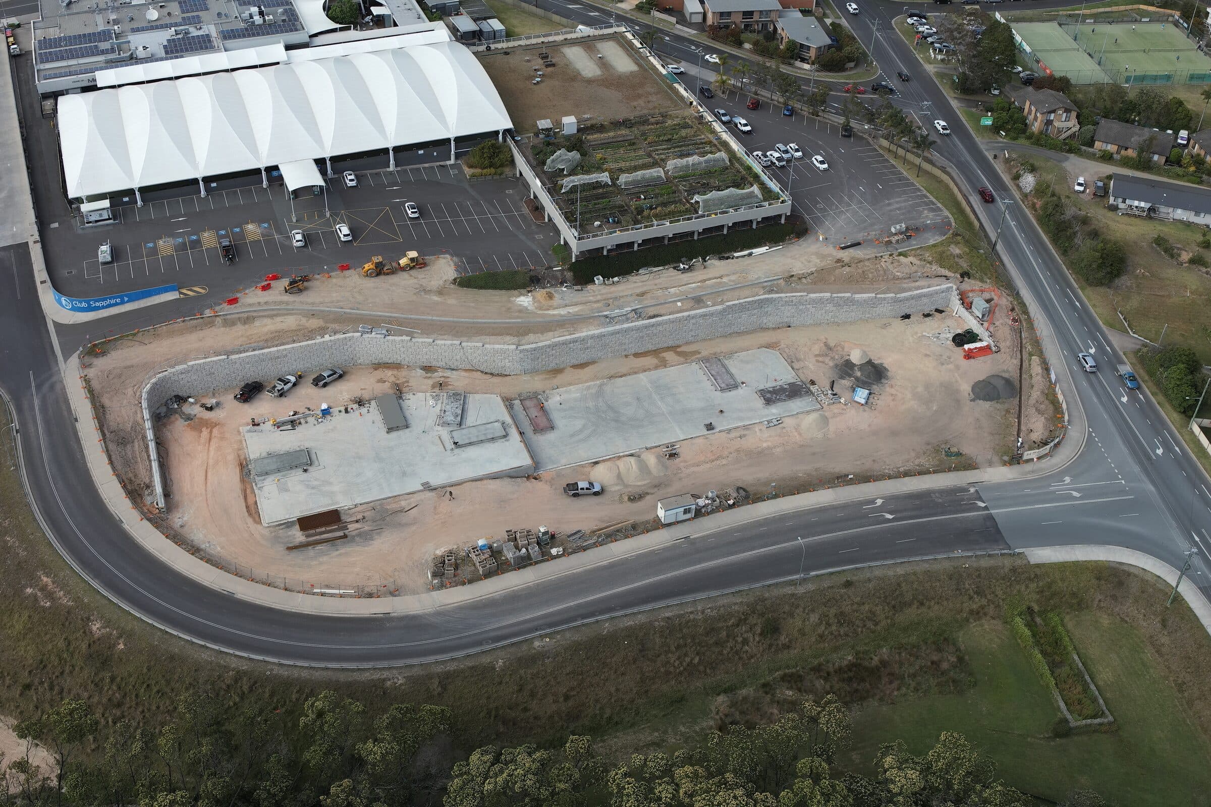
Time-aligned aerial captures, processed into a single source of truth for progress, volumes, and risk. Stakeholders track milestones without ever stepping onto site, and the visual archive is permanent.
What you get.
The actual files and outputs. No vague promises about 'insights'. These are the assets that land in your hands.
- Time-series capture set (consistent frame and altitude)
- Change detection overlays
- Volumetric tracking report.pdf
- Monthly PDF summary.pdf
- Annotated comparison imagery
Where this service earns its place.
- Large Construction
Track milestones, monitor structural progress, archive the build.
- Land Development
Document earthworks, vegetation clearing, and staging.
- Mining & Earthworks
Track material movement and excavation progress over time.
- Environmental Monitoring
Compare vegetation, erosion, and drainage across seasons.
Plan, capture, process, deliver.
Repeatable workflow on every job. No surprises in scope, no last-minute rebooks.
- 01Plan
Site walk, airspace clearance, GCP placement, and flight plan tuned to the deliverable.
- 02Capture
Drone flown to plan. Repeat passes where coverage demands it. Quick-look review on site.
- 03Process
Data processed in-house. Accuracy checks against ground control. Outputs prepared in your workflow's format.
- 04Deliver
Files handed over with an accuracy summary and a debrief. Revisions handled as needed.
Often bundled together.
Need a visual record across the lifecycle of a project?
Most jobs start with a 10-minute call. We'll tell you honestly whether a drone is the right tool, and what we'd actually need to deliver.