Capture. Data. Model.
Aerial data and imagery you can actually use.
LiDAR, photogrammetry, thermal, and cinematic media for surveyors, engineers, councils, and creative teams across the ACT, NSW, and Victoria.
01
Capture
Flight planning and high-resolution data capture using survey-grade sensors.
02
Data
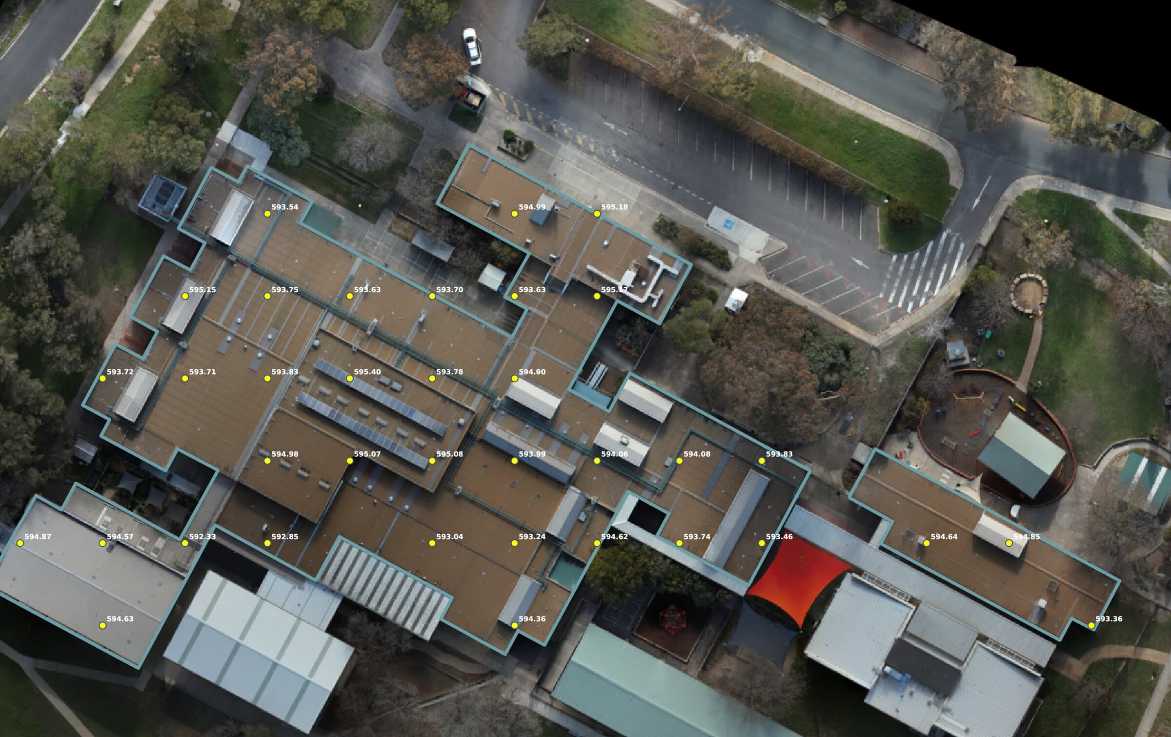
Processing into accurate point clouds, orthomosaics, DTMs, and thermal layers.
03
Model
Deliverables you can measure, share, and act on, not just look at.
What we do
Five services. Two disciplines.
Survey-grade data on one side, cinematic media on the other. The same flight discipline behind both.
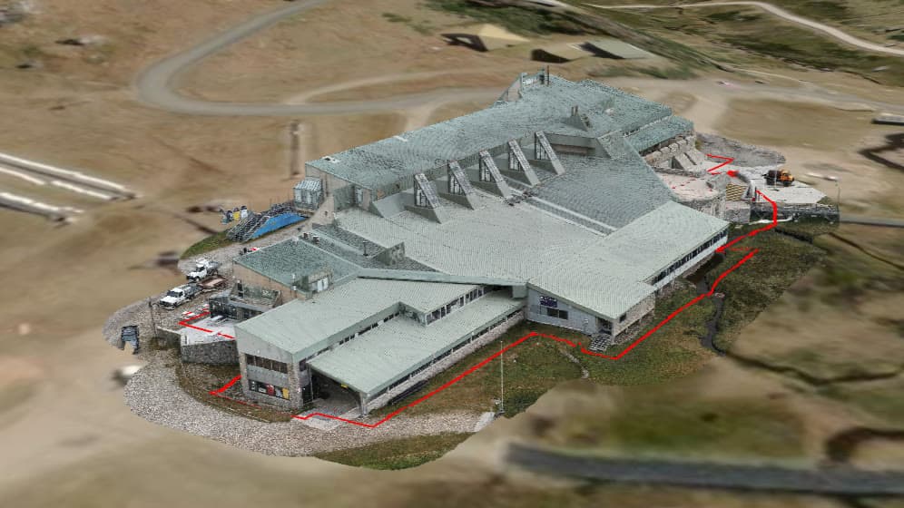
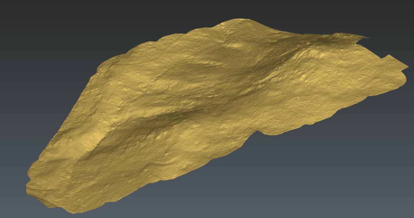
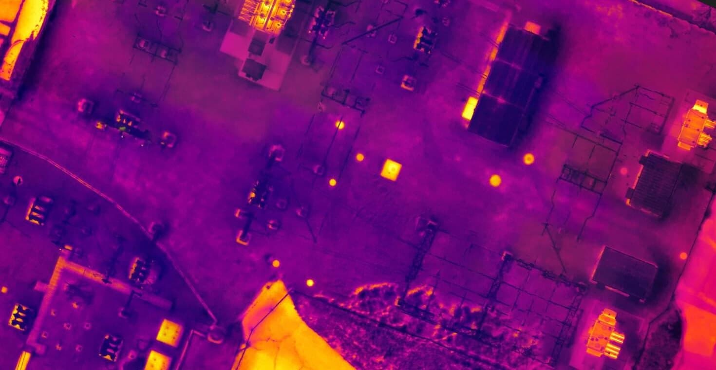
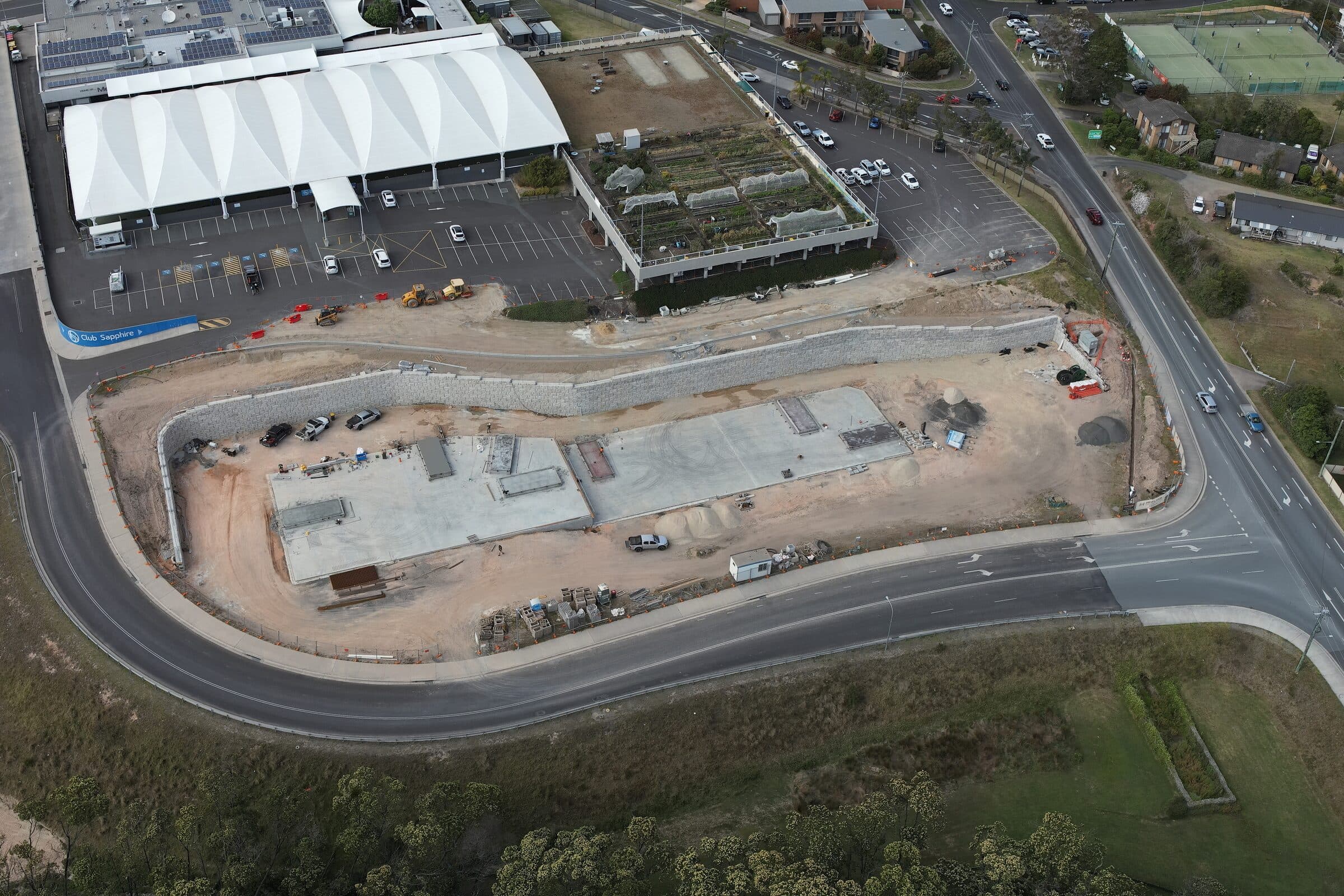
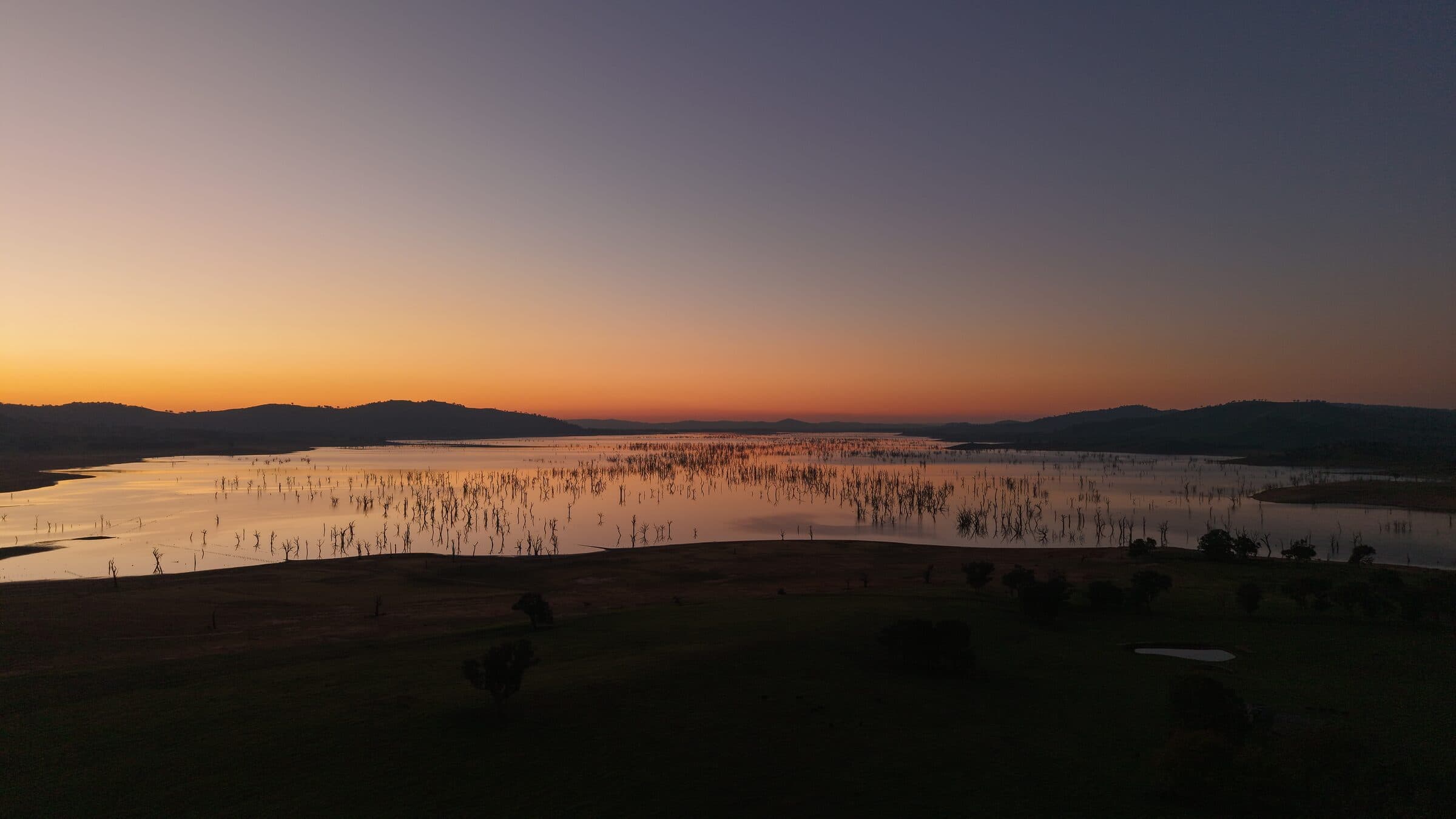
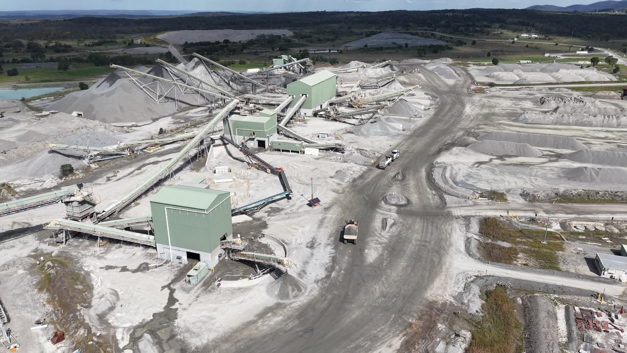
Selected work
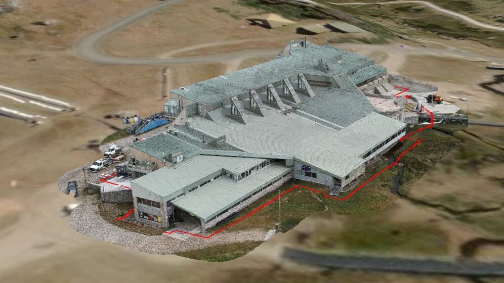
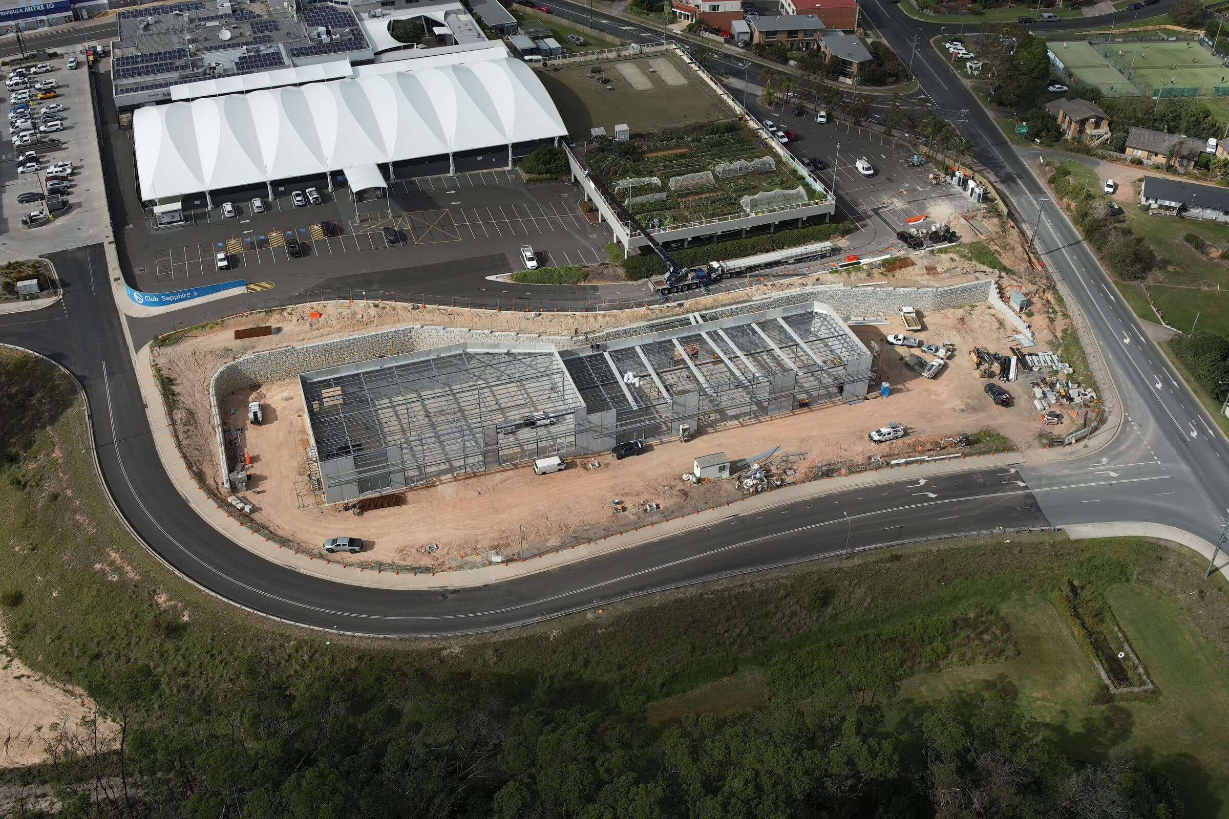
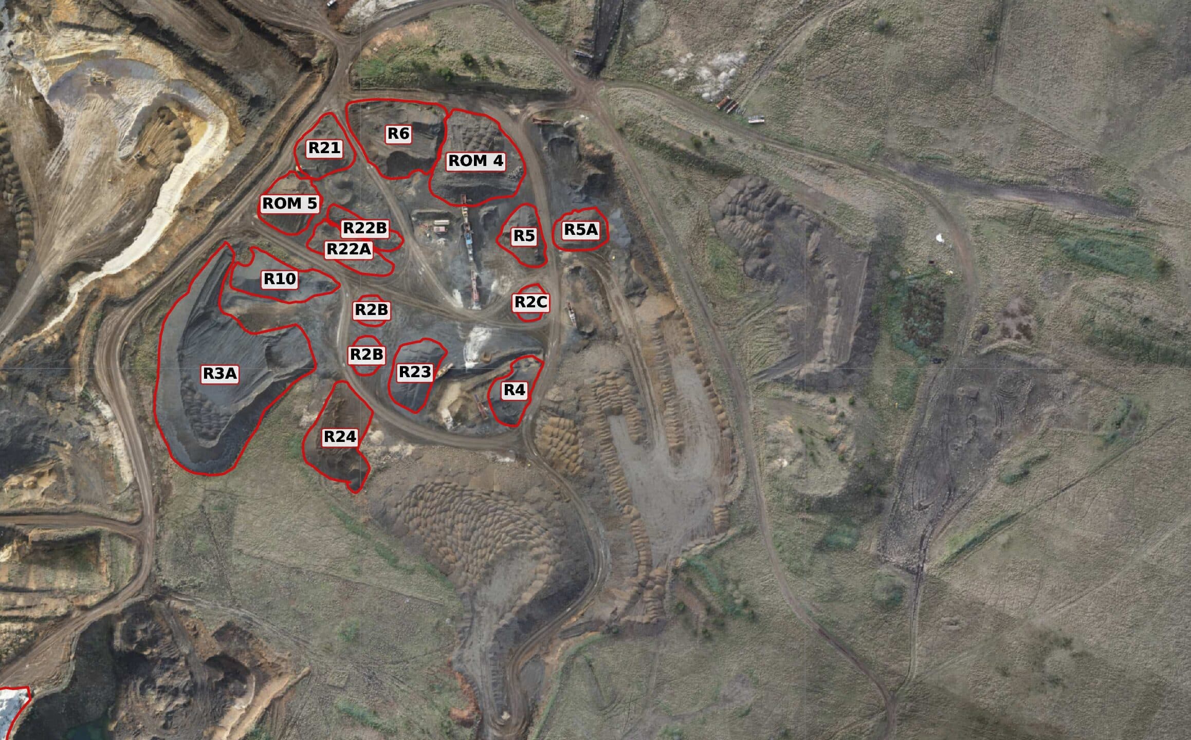
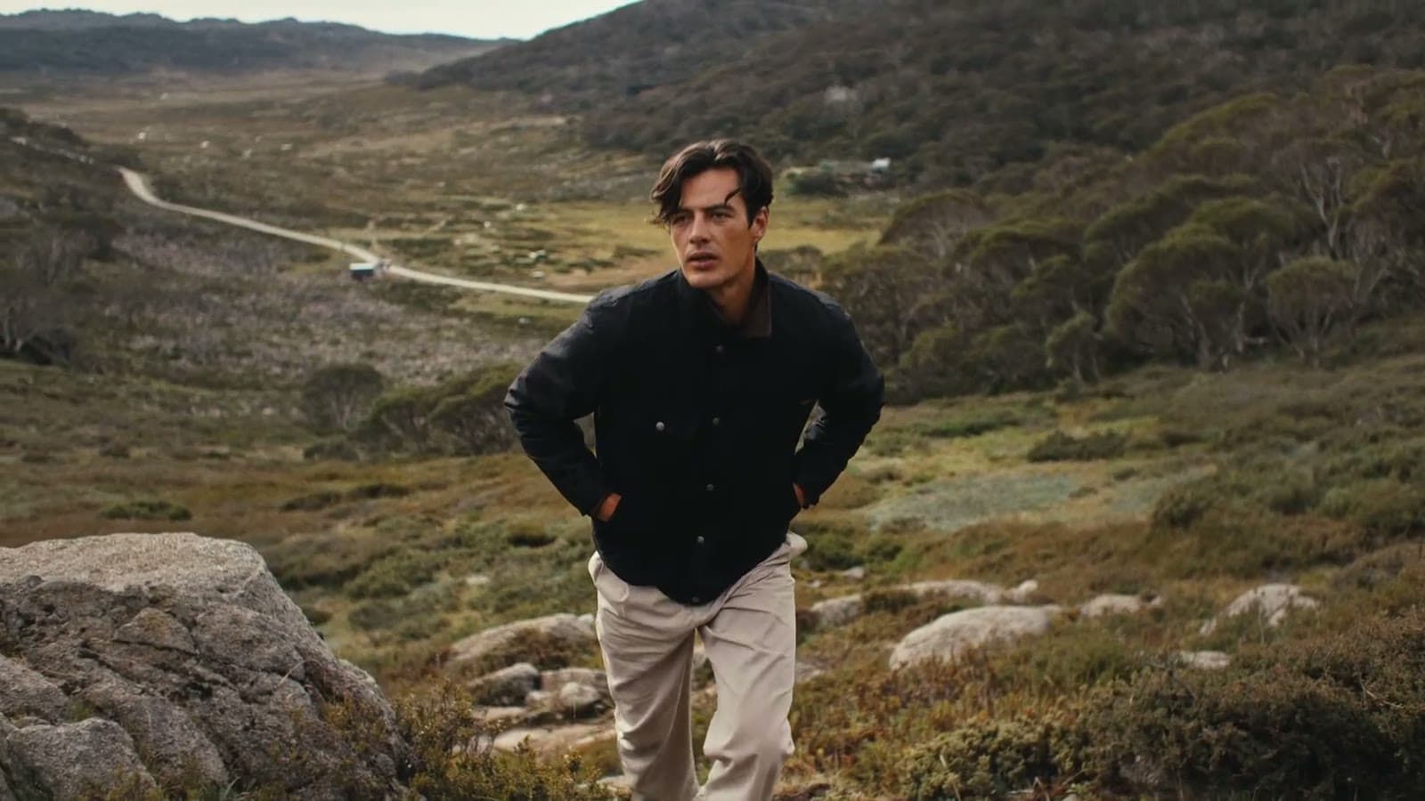
Recent projects.
Trusted by

Operating across ACT, NSW, VIC, and alpine regions. ReOC #9760. ARN #1068101.
Got a project? Let's talk.
Most jobs start with a 10-minute call. We'll tell you honestly whether a drone is the right tool, and what we'd actually need to deliver.