LiDAR
Thousands of laser pulses per second, captured in a single flight, processed into datasets your team can actually measure. LiDAR sees through canopies that block photogrammetry: true-ground terrain when you need it.
What you get.
The actual files and outputs. No vague promises about 'insights'. These are the assets that land in your hands.
- Classified point cloud.las.laz
- Digital Terrain Model (DTM).tif.asc
- Digital Surface Model (DSM).tif
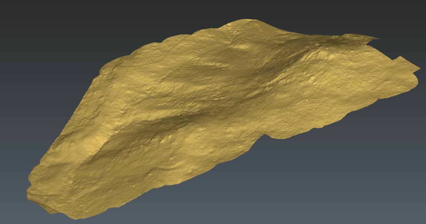
- 3D visualisation for review
- Accuracy report (RMSE in metres).pdf
- Vegetation analysis layer
Where this service earns its place.
- Forestry & Land Management
Terrain mapping beneath canopy, environmental analysis.
- Mining & Aggregates
Volume calculations, stockpile monitoring, pit management.
- Civil Engineering
Corridor mapping for roads, rail, and utilities.
- Energy & Utilities
Asset inspection, vegetation encroachment, route planning.
Plan, capture, process, deliver.
Repeatable workflow on every job. No surprises in scope, no last-minute rebooks.
- 01Plan
Site walk, airspace clearance, GCP placement, and flight plan tuned to the deliverable.
- 02Capture
Drone flown to plan. Repeat passes where coverage demands it. Quick-look review on site.
- 03Process
Data processed in-house. Accuracy checks against ground control. Outputs prepared in your workflow's format.
- 04Deliver
Files handed over with an accuracy summary and a debrief. Revisions handled as needed.
Need survey-grade data?
Most jobs start with a 10-minute call. We'll tell you honestly whether a drone is the right tool, and what we'd actually need to deliver.