
A measurable 3D model of Perisher Centre.
A high-resolution photogrammetric model of the Perisher Centre, captured at sufficient detail to be measured, explored, and analysed from any angle, particularly valuable in an alpine environment where seasonal access is unreliable.
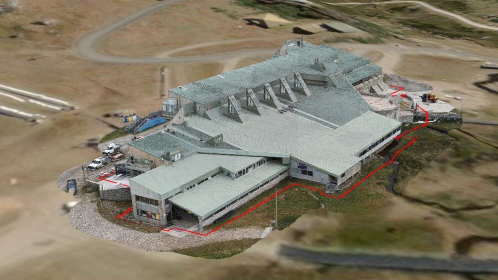
Perisher needed a way for builders, inspectors, planners, and internal teams to explore the site and its surroundings without requiring on-ground access. Alpine conditions and seasonal accessibility made repeat site visits costly and slow.
Photogrammetry techniques were used to capture overlapping aerial imagery across multiple flights. Imagery was processed into a precise, data-rich 3D model with accurate spatial relationships, timed for clear visibility and minimal seasonal cover.
An interactive 3D model that supports planning, communication, and project visibility: a practical tool for internal Perisher teams and external stakeholders alike. Increased accuracy, increased safety, and reduced reliance on physical site access.
A model built to be measured.
Captured as a high-resolution photogrammetric model of the centre, so the build and planning teams can measure and inspect the site without relying on alpine access.
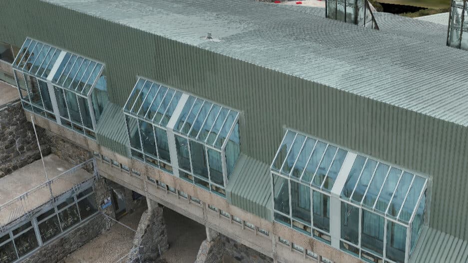
From the capture set.
Have a project we should look at?
Tell us what you're trying to figure out. We'll be straight about whether a drone is the right tool.