
Tracking a landfill cell filling to design.
A monthly volume survey of an active landfill cell: how much has been placed, how much airspace is left, and how the site is tracking against its final design. Delivered as a report the operator can act on, plus an interactive 3D model of the cell.
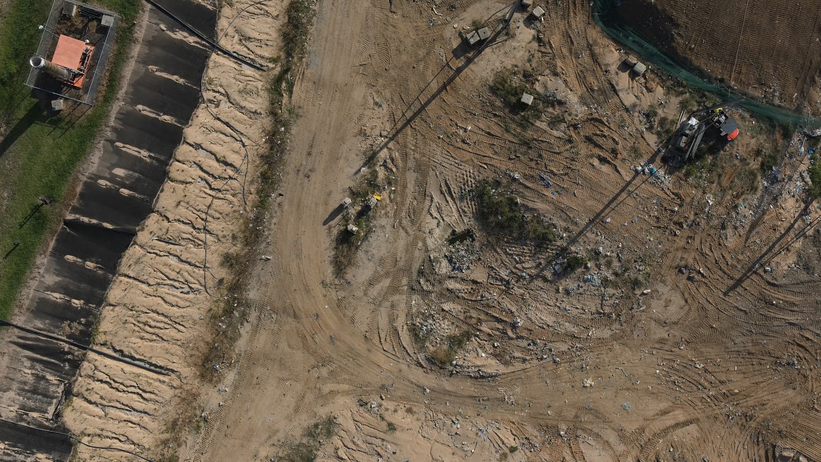
The operator needed a repeatable, defensible measure of how the cell is filling: volume placed each period, remaining airspace against the approved design, and a projection of months to capacity. Ground survey alone was slow and left gaps between visits.
Each period the cell is flown to the same plan and processed into a terrain model tied to a fixed datum. That surface is differenced against the previous capture and against the approved design surface to measure placed volume and remaining airspace. The captured ground is draped with the drone imagery and paired with the design as a 3D model so the remaining fill is easy to see.
A consistent monthly record the operator can plan against: volume placed, airspace remaining, and a running projection of time to capacity, backed by an interactive model that makes the numbers legible to non-technical stakeholders.
Explore the site in 3D.
The captured ground draped with the drone imagery, with the target design surface floating above it. The gap between the two is the fill still to place. Drag to orbit, scroll or pinch to zoom.
The kind of report the operator receives each period, shown here anonymised with illustrative figures.
From the capture set.
Have a project we should look at?
Tell us what you're trying to figure out. We'll be straight about whether a drone is the right tool.