Drone data for environmental work
See the ground and the vegetation without walking every hectare.
LiDAR and thermal capture for terrain, vegetation, and change over time, including sites that are difficult or unsafe to reach on foot.
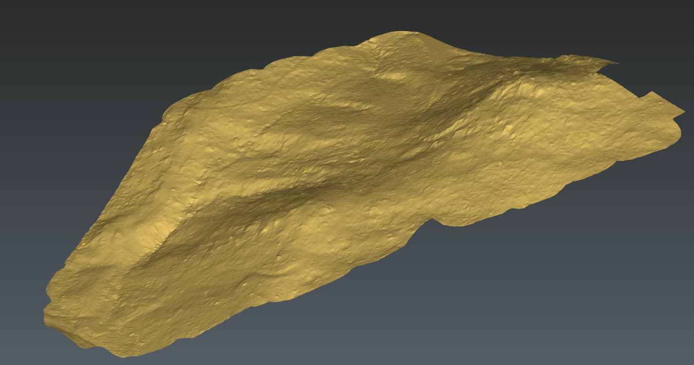
Environmental sites are often steep, remote, or densely vegetated, exactly where ground survey is slowest and least safe. LiDAR reads the true ground through canopy, and repeat captures make change measurable rather than anecdotal.
- Bare-earth terrain
Ground models built from returns that reach beneath the canopy.
- Vegetation analysis
Canopy height and cover layers derived from the same capture.
- Change monitoring
Erosion, growth, and disturbance measured between captures, not eyeballed.
- Reach without risk
Steep, remote, and hazardous ground surveyed from the air.
Mapping difficult or remote ground?
Tell us what you're trying to figure out. We'll be straight about whether a drone is the right tool, and what we'd actually need to deliver.