Drone data for builders
Track the build, measure the site, keep everyone in the loop.
Progress capture, earthworks volumes, and as-built against design, without stopping work on site. A time-aligned record stakeholders can rely on without a site visit.
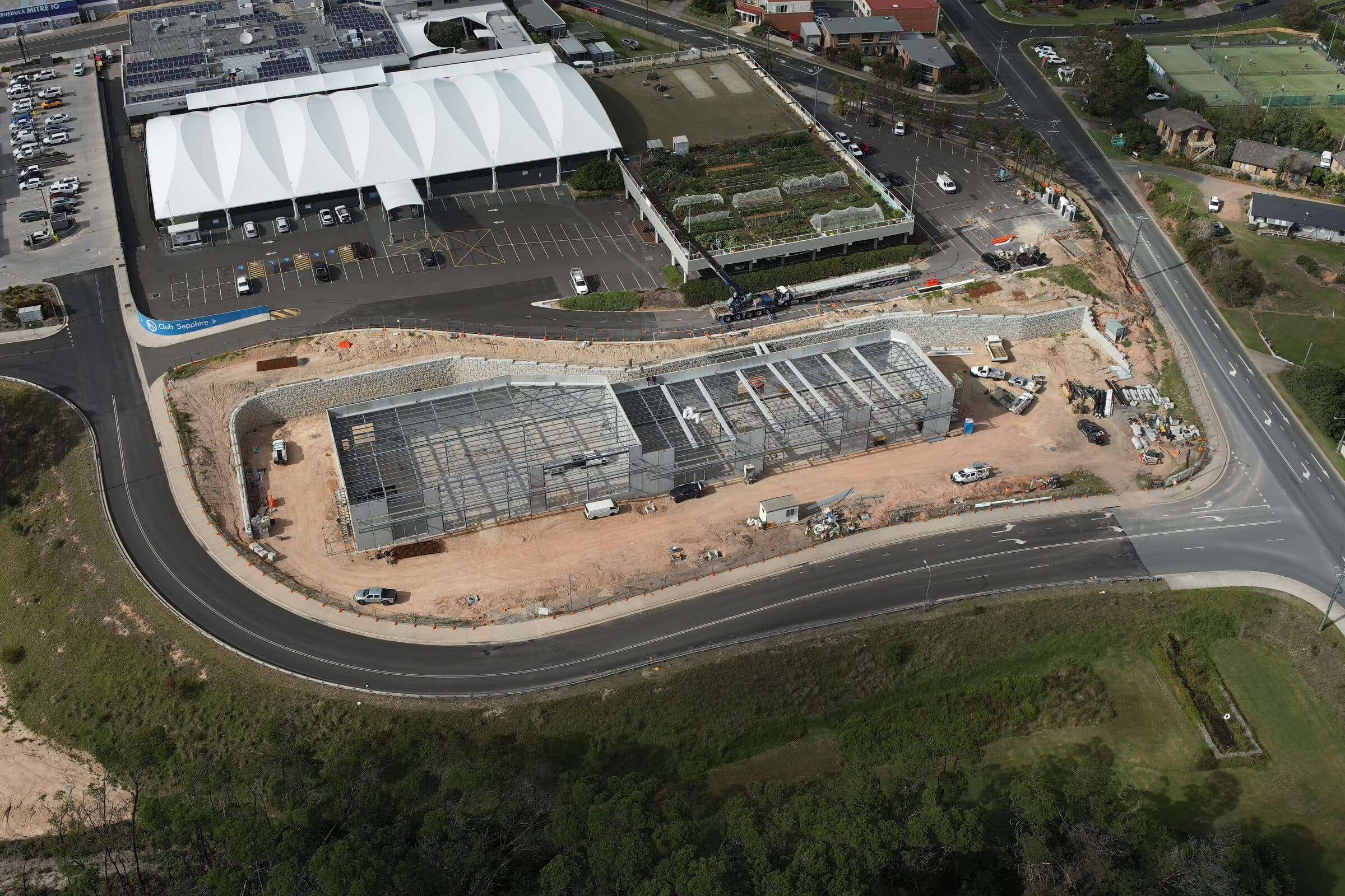
On an active build, information ages fast and site visits interrupt work. Regular aerial capture gives every stakeholder the same current picture, and turns the site itself into a measurable record you can check against the design at any time.
- Monthly progress capture
Aligned to the same frame and angle each visit, so month-to-month comparison is direct.
- Earthworks volumes
Cut, fill, and stockpile quantities measured across the site.
- As-built vs design
The captured surface compared straight against the design to catch drift early.
- Shareable records
A clean visual archive for stakeholders, reporting, and dispute resolution.
Got a build to keep track of?
Tell us what you're trying to figure out. We'll be straight about whether a drone is the right tool, and what we'd actually need to deliver.