Drone data for councils
From landfill airspace to linemarking, mapped and measured.
Practical capture for the jobs councils actually run: waste cells, roads, drainage, and public assets, on a monitoring cycle where it helps.
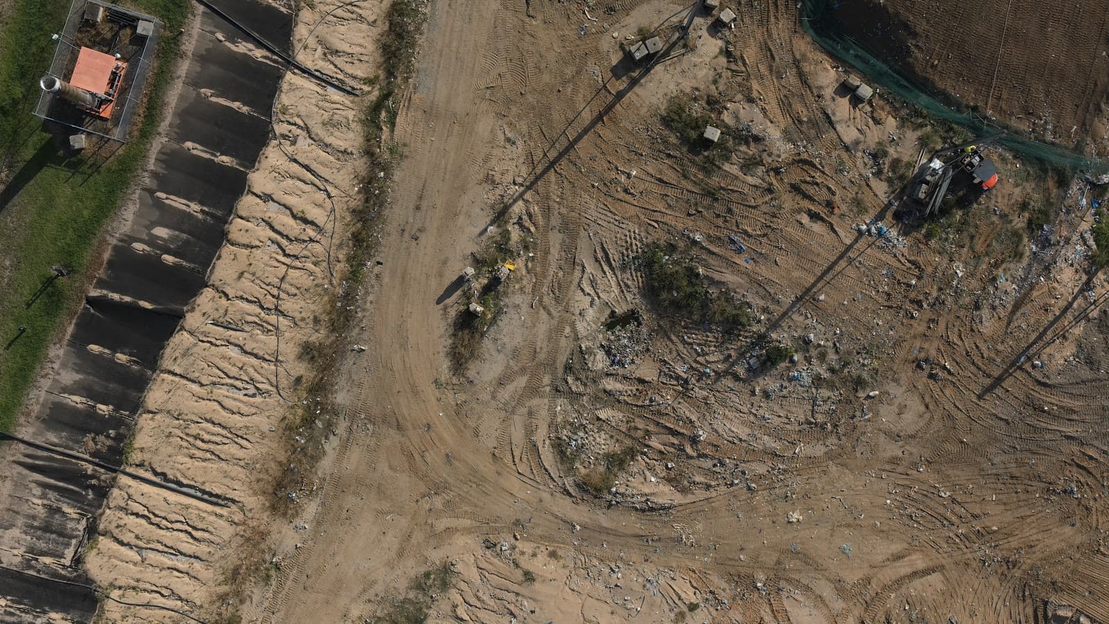
Councils juggle a lot of small, recurring spatial jobs that each cost a survey callout. Bundling them into regular drone capture keeps the numbers current, the airspace tracked, and the assets on record for a fraction of the disruption.
- Landfill monitoring
Cell volumes, fill against design, and remaining airspace each period.
- Roads and linemarking
Orthophotos accurate enough for linemarking and road works.
- Drainage and assets
Public infrastructure mapped and kept on record.
- A running record
Monthly monitoring where a time series actually matters.
A council job that needs mapping?
Tell us what you're trying to figure out. We'll be straight about whether a drone is the right tool, and what we'd actually need to deliver.