Drone data for government
Documented, repeatable capture for agencies and their contractors.
A CASA-certified operation with full insurance and clear QA reporting, suited to agency requirements and audit trails. We work through your surveyor or prime contractor where needed.
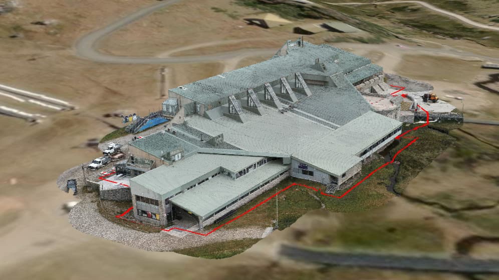
Public-sector work lives or dies on documentation and repeatability. Every capture comes with a defined method and QA record, and slots into existing surveyor and contractor chains rather than sitting outside them.
- Repeatable method
A documented, consistent capture that holds up across reporting periods.
- QA on every job
Accuracy and quality-assurance reporting delivered as standard.
- Asset and corridor mapping
Roads, drainage, land, and infrastructure captured at scale.
- Fits your chain
Works under your registered surveyor or prime contractor when required.
Got a project that needs documenting?
Tell us what you're trying to figure out. We'll be straight about whether a drone is the right tool, and what we'd actually need to deliver.