Drone data for quarry managers
Stockpile volumes, haul roads, and a site everyone can read.
Regular volume surveys and clear site maps that support planning, reporting, and inductions, captured without putting a crew in the pit.
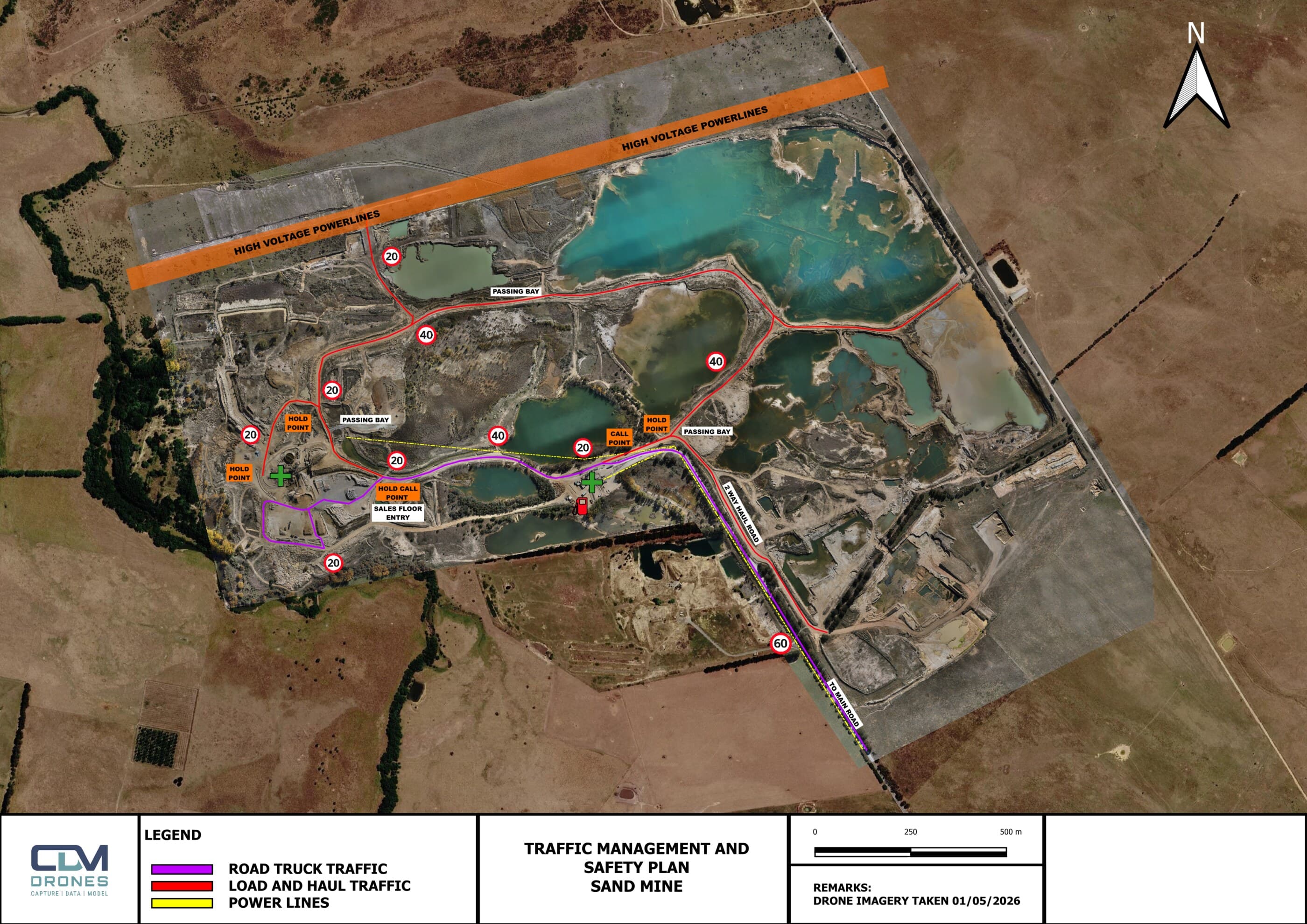
Manual stockpile measurement is slow, inconsistent, and puts people in moving-plant areas. A single flight measures every pile the same way and doubles as an up-to-date base for traffic, safety, and planning.
- Per-pile volumes and tonnages
Every stockpile measured the same way, on a single sheet.
- Movement over time
Period-to-period change and remaining airspace tracked across the site.
- Traffic and safety maps
Haul roads, speed zones, and high-risk areas marked in the language crews use.
- Regular monitoring
Pit and stockpile checks on a schedule that suits the operation.
Need your stockpiles measured?
Tell us what you're trying to figure out. We'll be straight about whether a drone is the right tool, and what we'd actually need to deliver.