Drone data for surveyors
Survey-grade capture that drops straight into your workflow.
We fly, process, and hand back clean, georeferenced data tied to a fixed datum, so you spend your time on the survey rather than the capture. Everything comes back in the formats your software already reads.
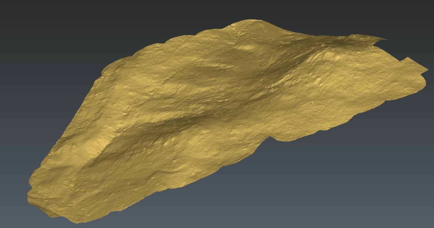
Boots-on-the-ground survey is slow over large or hazardous sites, and leaves gaps between visits. Aerial capture covers the whole site in one flight at consistent accuracy, and the deliverables are built to sit under your control network, not replace it.
- Orthomosaics and DTMs tied to control
Georeferenced surfaces built on your GCPs, ready to bring into CAD or GIS.
- LiDAR through canopy
True-ground detail where photogrammetry gets noisy, under vegetation and on low-texture surfaces.
- Classified point clouds
Delivered in .las and .laz, ground-classified and ready to use.
- Accuracy you can defend
A GCP accuracy report on every job so the numbers stand up to scrutiny.
Need survey-grade data on your next job?
Tell us what you're trying to figure out. We'll be straight about whether a drone is the right tool, and what we'd actually need to deliver.